|
|
AMETHYST |
Within the scope of the
project the Department of Glaciology IGRAS, fulfills different tasks.
Variety of images, maps, publications, field data was collected processed
and analysed. The list below shows some IGRAS inputs into the AMETHYST
project:
- Concept of satellite
hydrographic monitoring along Russian Arctic coasts, geographic description
of test sites, review of the history of hydrographic surveys in the
WeRA (together with JR_DIB and NIERSC)
- Technique for the radio-echo sounding data processing and interpretation,
and reconstruction of ice thickness at glacier fronts and in marginal
parts of several ice caps
- Physical-mathematical modelling of ice-shore changes due to the
glacier flow and calving
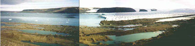
- Field work (September, 2001) and estimation of the ice flux through
glacier fronts in the Novaya Zemlya test site
- Development of data integration plan
- Processing of ERS-1/2-(IN)SAR data and ASTER data and comparison
with available topographic maps
- Estimation of areal and linear changes of ice shores on three archipelagos
- Set of satellite image maps of the WeRA
- Regional inventory of ice shores in the WeRA
- GIS prototype for the WeRA (together with the NPOM)
- Development of RECORD database implemented in ARCTUR software (together
with the NPOM)
Selected Results
Examples
Project Partners
AMETHYST web links
Back
Back to homepage
|